SALDi Training Course on Modelling of Land Degradation Processes
RUSLE-based modelling of soil erosion by water for the Overberg area
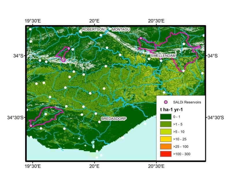
Picture: J. Baade 2022Course dates: November 2022 (details to be announced)
Location: Online course
Participants: max. 10 participants, selected by a review procedure after application (number of participants is limited to ensure good mentoring during the practical tutorials
Application details:
Application: For application, you need to submit two documents (Format: pdf):
- a letter of motivation, explaining why this course is important for your research / studies
- a short CV
Application deadline: 01. October 2022 (details to be announced)
Prerequisites: Experience with and access to a GIS (preferably ArcGIS) is a requirement for the practical tutorials. The target group is hence broad including e.g. MSc students at the end of their project, PhD students or other junior researchers. Since this is an online course, participants need good internet connection, a working webcam and microphone.
Platform: Zoom-Meeting
Coordinating university/institution: University of Jena
SPACES project: SALDi
Target group:
Students and early-career researchers from southern Africa with interest in land degradation processes, especially soil erosion.
Course coordinator:
PD Dr. J. Baade, University of Jena, TBA
Course lead:
PD Dr. J. Baade (Erosion assessment), K. Zoller
Course description:
The course aims at introducing participants to the soil erosion model USLE / RUSLE and (global) data sets usable as input data sources. Knowledge transfer will be based on online lectures, practical tutorials and self-guided tasks. Necessary input parameters as well as geodata preparation will be introduced and worked with. Within the course exemplary data will be provided and different land use scenarios and rainfall intensities will be simulated. In a final step the production of risk maps will be practiced.
Learning methods: This course is composed of individual teaching units, including hands-on exercises
Expected learning outcomes:
The courses will enable participants to get first insights into the USLE/RUSLE modelling systems and an overview of available input data. Potentially the course provides the foundation to start their own research with them.
Additional information:
For this course, participants need to provide their own computer. Experience with and access to a GIS (preferably ArcGIS) is a requirement for the practical tutorials.
Cost: The course will be free of charge for accepted applicants