SP1.2: Soil Erosion

The SALDi Working Group at the faculty of Physical Geography at FSU Jena investigates soil erosion issues in South Africa

The subproject description

  • The problem of soil erosion

    Sediments in a dried out reservoir, South Africa

    Image: J. Baade 2018

    Soil erosion is the most significant quasi-natural sub-process of land degradation and a global problem. Soil erosion, in particular by water, leads to the erosion of the topsoil, the fragmentation of landscapes and sediment input into the water systems. In arid areas, this also causes the silting up of drinking water reservoirs and a corresponding decrease in the storage volume.

  • Our objectives

    TLS-Vermessung von Tiefenlinienerosion

    Image: J. Baade 2015

    The objectives of the Working Group on Soil Erosion within SALDi are:

    1. To improve the assessment of the extent of soil erosion in South Africa by means of current studies on the silting up of reservoirs.

    2. To evaluate the extent of soil erosion in relation to soil recharge rates (TP3).

    3. To improve the model-based estimation of soil erosion by water with a physically based model. 

  • Our methodology I (soil erosion mapping)

    Gully erosion (DTM)

    Image: Jussi Baade/FSU 2017

    Recent measurement of the extent of soil erosion is an approach to correctly assess the problem. Another approach is to estimate soil erosion using models. But such models usually need to be adapted or calibrated. This in turn requires direct measurements of soil erosion. Here we will use cross-scale measurement methods from locally very limited measurements by means of a terrestrial laser scanner (TLS), over threat-supported photogrammetry up to satellite-supported approaches. Common to all approaches is the goal of correctly locating the focal areas of soil erosion across scales.  

  • Our methodology II (reservoir sedimentation)

    Reservoir survey at Klipkopjes Dam, White River, Mpumalanga

    Image: J. Baade 2020

    The material that is removed from the catchment areas collects over decades in reservoirs. In view of the strongly fluctuating weather conditions under semi-arid climatic conditions, long-term geo-archives, such as reservoirs, are particularly valuable when it comes to determining average erosion rates. Within the framework of SALDi, it is planned to explore selected reservoirs in several working areas, to investigate the state of siltation by means of echo-sounding and to determine the mean sediment input rates and soil erosion rates from the data.

  • Our methodology III (soil erosion modelling)

    Soil Erosion Modelling

    Image: SALDi 2020

    In SALDi the adaptation of the physically based erosion model Erosion3DExternal link (Schmidt 1996, Schob et al. 2006) to the conditions in South Africa puts soil erosion modelling on a new footing. Currently we are evaluating to which extent readily available data can be utilized to drive the erosion model for a small catchment close to Ladybrand, Free State.

  • Our cooperation

    In the field of soil erosion research, we work closely with TP2 and TP3 in Germany. In South Africa, the cooperation focuses on the ARC-ISCW, SANParks, the University of the Free State and the North West University.

  • The expected results

    Milestone 1: 1st field campaign for reservoir surveys, rainfall experiments (in collaboration
    with ARC) and TLS surveys conducted 
    Milestone 2: Reservoir surveys analyzed 
    Milestone 3: 2nd field campaign for rainfall experiments (in collaboration with ARC) and TLS resurveys conducted 
    Milestone 4: Results of rainfall experiments integrated in EROSION 3D and prototype of
    EROSION ZA developed together with ARC-ISCW
    Milestone 5: TLS surveys analyzed and results compared to aerial photography 
    Milestone 6: Medium-term sediment yield and soil loss rates derived from reservoir surveys, decadal trends of soil erosion established 
    Milestone 7: Contribution to capacity building completed with 2nd SALDi Summer School in Stellenbosch 
    Milestone 8: Final results presented at SALDi balance meeting in Pretoria

Current project progress SP1.2: Soil erosion

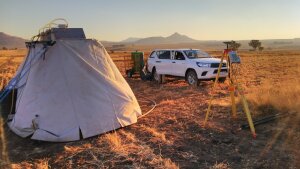
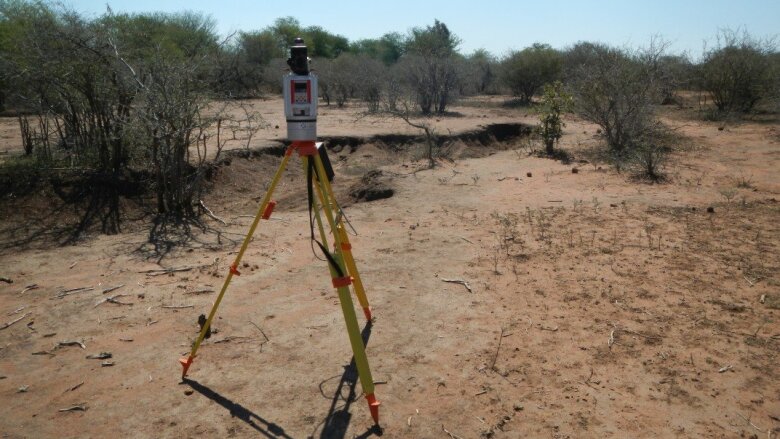
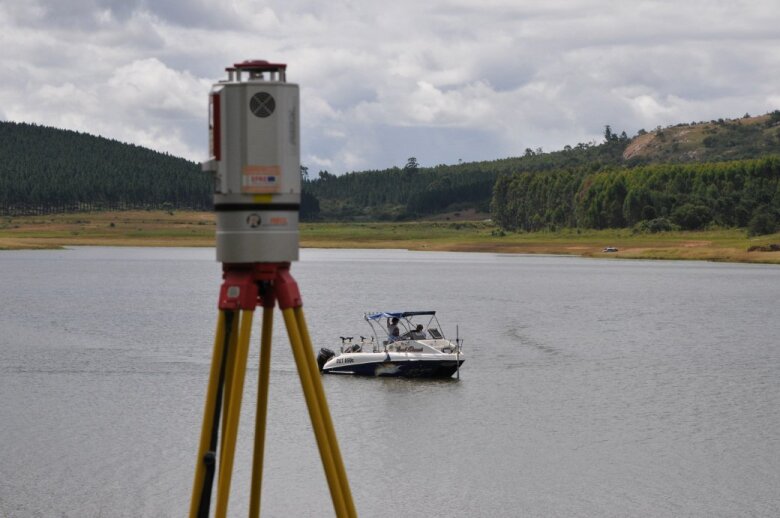
  • SALDi Field Campaign III

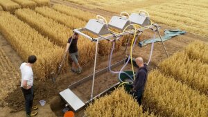
    The 3rd SALDi field work campaign is scheduled from March to mid April 2020 and to cover selected study sites. The objectives of this campaign included the check-up of the soil moisture networks, additional soil erosion rainfall simulations and reservoir siltation surveys. The photo shows a rainfall simulation experiment conducted at the end of October 2019 close to Ladybrand, Free State.

    Rainfall simulation Vienis
    Image: J. Baade 2019
  • SALDi Field Campaign II

    The 2nd SALDi field campaign takes place from September to mid-October 2019 and covers all six research areas. The focus of the work is on the control of soil moisture networks, which were successfully installed in March. The picture shows the test run on the test sites of the TLLLR in Dornburg on 17.7.2019.

    Rainfall simulation test at Dornburg
    Image: J. Baade FSU Jena 2019
  • SALDi Field Campaign I

    The 1st SALDi field campaign takes place from 14.3. to 6.4.2019 and covers all six research areas. The focus of the work is on the installation of equipment and initial field surveys.

    TLS-Vermessung von Tiefenlinienerosion
    Image: J. Baade 2015
Slideshow controls Slide 1 of 32

SALDi project team on Soil Erosion